Nickey Line remains at London Road Boxmoor A4251, Hemel Hempstead
Introduction
The photograph on this page of Nickey Line remains at London Road Boxmoor A4251, Hemel Hempstead by Simon Marshall as part of the Geograph project.
The Geograph project started in 2005 with the aim of publishing, organising and preserving representative images for every square kilometre of Great Britain, Ireland and the Isle of Man.

There are currently over 7.5m images from over 14,400 individuals and you can help contribute to the project by visiting https://www.geograph.org.uk
Nickey Line remains at London Road Boxmoor A4251, Hemel Hempstead
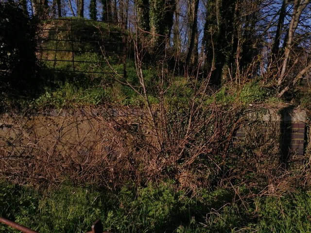
Image: © Simon Marshall Taken: 2 Apr 2023
This is the section south of Hemel town centre that tried to make a connection to the LNWR (London Euston to Birmingham line) at Boxmoor but failed. Midland Railway branch from Harpenden. Old retaining wall remains in blue brick are visible here, where the road underbridge straddled the old A41 behind me. It's not a part of the Nickey Trail cycle path from Harpenden; this is an isolated piece of embankment south of the site of Heath Park Halt which was the furthest station of the branch line town station quite close to old and redone Marlowes, and immediately north of the old Hemel to Berkhamsted road just by the present day Aldi. The other end, a hundred metres or so away from here, is isolated by the River Bulbourne. Historic maps 1877 - 1960 on the National Library of Scotland database show the line well; the last map shows the 'Magic Roundabout' superimposed on the line route where there was a viaduct over Marlowes. Land administered by the Boxmoor Trust.
Images are licensed for reuse under creativecommons.org/licenses/by-sa/2.0
Image Location
Latitude
51.740937
Longitude
-0.476771