Near New Barn Farm
Introduction
The photograph on this page of Near New Barn Farm by Ian Capper as part of the Geograph project.
The Geograph project started in 2005 with the aim of publishing, organising and preserving representative images for every square kilometre of Great Britain, Ireland and the Isle of Man.

There are currently over 7.5m images from over 14,400 individuals and you can help contribute to the project by visiting https://www.geograph.org.uk
Near New Barn Farm
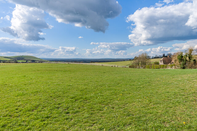
Image: © Ian Capper Taken: 7 Apr 2023
Looking across the plateau at the top of The South Downs, near Clayton, with New Barn Farmhouse on the far right and Wolstonbury Hill on the far left.
Images are licensed for reuse under creativecommons.org/licenses/by-sa/2.0
Image Location


Leaflet Map data © OpenStreetMap
Latitude
50.901439
Longitude
-0.14602