Miller Street housing development, Clydebank
Introduction
The photograph on this page of Miller Street housing development, Clydebank by Stephen Sweeney as part of the Geograph project.
The Geograph project started in 2005 with the aim of publishing, organising and preserving representative images for every square kilometre of Great Britain, Ireland and the Isle of Man.

There are currently over 7.5m images from over 14,400 individuals and you can help contribute to the project by visiting https://www.geograph.org.uk
Miller Street housing development, Clydebank
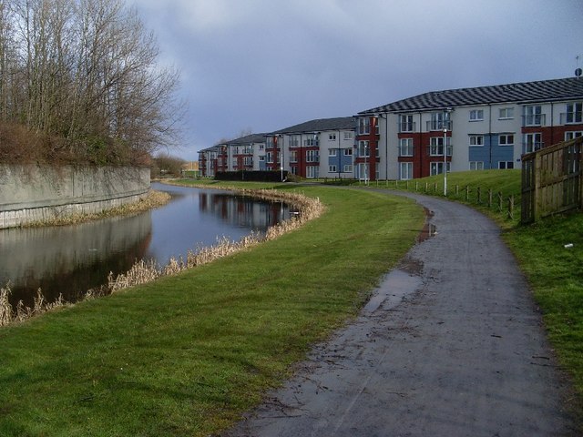
Image: © Stephen Sweeney Taken: 30 Mar 2008
This development dates back to about 2002. Very close to the canal.
Images are licensed for reuse under creativecommons.org/licenses/by-sa/2.0
Image Location
Latitude
55.903095
Longitude
-4.40965