Eroding river bank with industrial remains
Introduction
The photograph on this page of Eroding river bank with industrial remains by Trevor Littlewood as part of the Geograph project.
The Geograph project started in 2005 with the aim of publishing, organising and preserving representative images for every square kilometre of Great Britain, Ireland and the Isle of Man.

There are currently over 7.5m images from over 14,400 individuals and you can help contribute to the project by visiting https://www.geograph.org.uk
Eroding river bank with industrial remains
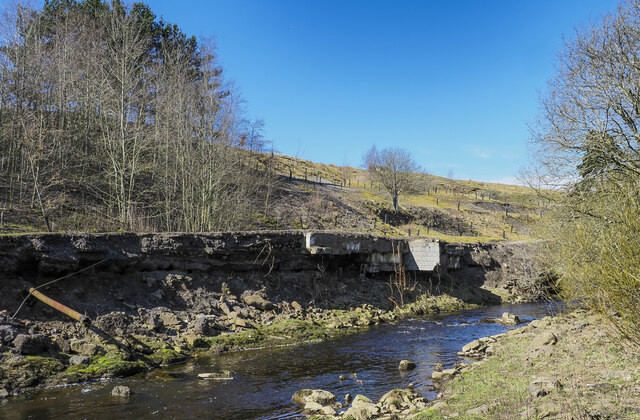
Image: © Trevor Littlewood Taken: 4 Apr 2023
The river is the Rookhope Burn passing through the village of Rookhope. The bank is on its west side where in the past a platform was constructed to create an area for industrial development, probably concerned with metal mining. The river bank is being undercut causing the progressive collapse of the shelf.
Images are licensed for reuse under creativecommons.org/licenses/by-sa/2.0
Image Location
Latitude
54.778362
Longitude
-2.09698