Harrogate, Oatlands Drive
Introduction
The photograph on this page of Harrogate, Oatlands Drive by Mel Towler as part of the Geograph project.
The Geograph project started in 2005 with the aim of publishing, organising and preserving representative images for every square kilometre of Great Britain, Ireland and the Isle of Man.

There are currently over 7.5m images from over 14,400 individuals and you can help contribute to the project by visiting https://www.geograph.org.uk
Harrogate, Oatlands Drive
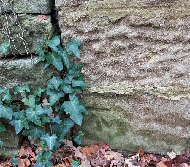
Image: © Mel Towler Taken: 2 Mar 2023
The benchmark is cut into the roadside wall on the west side of the road, and to the right of a wall junction.
Images are licensed for reuse under creativecommons.org/licenses/by-sa/2.0
Image Location
Latitude
53.985066
Longitude
-1.523103