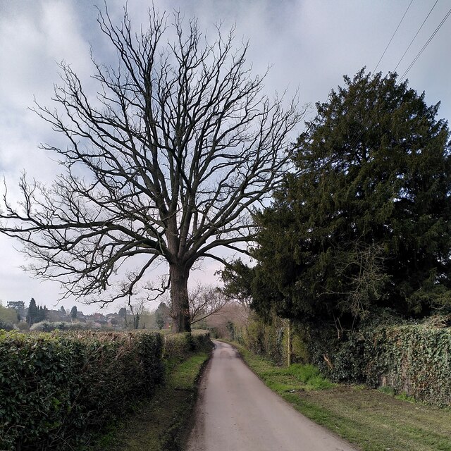
The Henley Mill Oak, Henley Mill Lane
Introduction
The photograph on this page of The Henley Mill Oak, Henley Mill Lane by A J Paxton as part of the Geograph project.
The Geograph project started in 2005 with the aim of publishing, organising and preserving representative images for every square kilometre of Great Britain, Ireland and the Isle of Man.
There are currently over 7.5m images from over 14,400 individuals and you can help contribute to the project by visiting https://www.geograph.org.uk

Image: © A J Paxton Taken: 9 Apr 2023
This fine oak tree is growing in a hedgerow opposite Henley Farm. The Woodland Trust list it as a 'notable tree', with a girth of 5.3m, measured at the conventional height of 1.5m. https://ati.woodlandtrust.org.uk/tree-search/tree?treeid=181511&from=3523&v=2263710&ml=map&z=18&nwLat=52.42994344292339&nwLng=-1.4746649670215306&seLat=52.42874956574498&seLng=-1.467889707049912#/ It is seen here in early April and is certainly a striking local landmark. The Woodland Trust site describes it as a 'remarkable survival in such an urban area.' Henley Mill Lane is itself a remarkable survivor, a Warwickshire country lane surrounded by 20th century Coventry suburbia and council housing estates. It lies in a loop of the River Sowe, and its location on or near the floodplain has probably discouraged building in this area.

