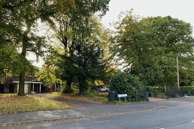
North end of Walmley Road, Sutton Coldfield
Introduction
The photograph on this page of North end of Walmley Road, Sutton Coldfield by Robin Stott as part of the Geograph project.
The Geograph project started in 2005 with the aim of publishing, organising and preserving representative images for every square kilometre of Great Britain, Ireland and the Isle of Man.
There are currently over 7.5m images from over 14,400 individuals and you can help contribute to the project by visiting https://www.geograph.org.uk

Image: © Robin Stott Taken: 19 Oct 2022
Big detached houses sit in big gardens behind a broad strip of mature trees – a scrap of woodland once, perhaps, but too random for a hedgerow. Old maps show a strip of trees called The Belt along the road northeast of New Hall, so perhaps it marked the boundary of that estate.

