Green dotted track toward Nafferton Kesters
Introduction
The photograph on this page of Green dotted track toward Nafferton Kesters by Martin Dawes as part of the Geograph project.
The Geograph project started in 2005 with the aim of publishing, organising and preserving representative images for every square kilometre of Great Britain, Ireland and the Isle of Man.

There are currently over 7.5m images from over 14,400 individuals and you can help contribute to the project by visiting https://www.geograph.org.uk
Green dotted track toward Nafferton Kesters
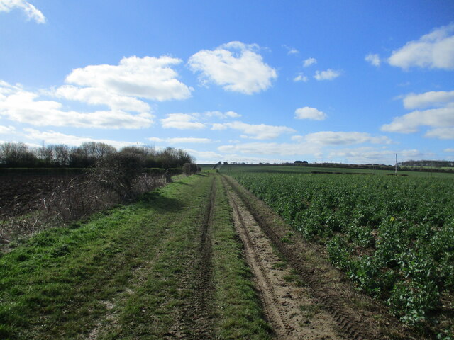
Image: © Martin Dawes Taken: 3 Apr 2023
Beyond the shelter belt of trees on the left is Nafferton Kesters a mid to late c18 farmhouse
Images are licensed for reuse under creativecommons.org/licenses/by-sa/2.0
Image Location
Latitude
54.046549
Longitude
-0.399676