Farmland, Stokenchurch
Introduction
The photograph on this page of Farmland, Stokenchurch by Andrew Smith as part of the Geograph project.
The Geograph project started in 2005 with the aim of publishing, organising and preserving representative images for every square kilometre of Great Britain, Ireland and the Isle of Man.

There are currently over 7.5m images from over 14,400 individuals and you can help contribute to the project by visiting https://www.geograph.org.uk
Farmland, Stokenchurch
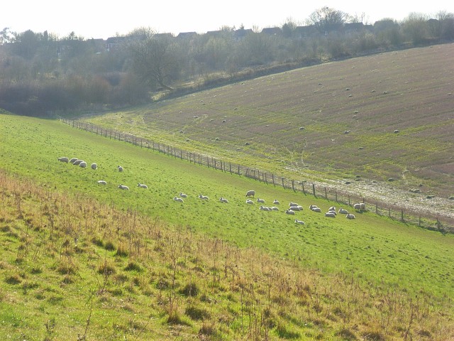
Image: © Andrew Smith Taken: 27 Mar 2008
Sheep and stubble in a dry valley east of the village, the rooftops of which can just be seen.
Images are licensed for reuse under creativecommons.org/licenses/by-sa/2.0
Image Location
Latitude
51.661172
Longitude
-0.89396