Converted barn at Betton Abbots Farm
Introduction
The photograph on this page of Converted barn at Betton Abbots Farm by TCExplorer as part of the Geograph project.
The Geograph project started in 2005 with the aim of publishing, organising and preserving representative images for every square kilometre of Great Britain, Ireland and the Isle of Man.

There are currently over 7.5m images from over 14,400 individuals and you can help contribute to the project by visiting https://www.geograph.org.uk
Converted barn at Betton Abbots Farm
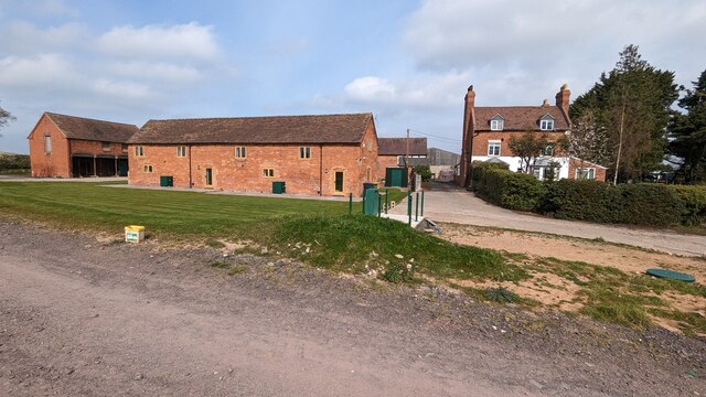
Image: © TCExplorer Taken: 9 Apr 2023
The barn was converted into two private residences in 2018.
Images are licensed for reuse under creativecommons.org/licenses/by-sa/2.0
Image Location


Leaflet Map data © OpenStreetMap
Latitude
52.66663
Longitude
-2.718894