Winterbourne Stream
Introduction
The photograph on this page of Winterbourne Stream by Ian Hawfinch as part of the Geograph project.
The Geograph project started in 2005 with the aim of publishing, organising and preserving representative images for every square kilometre of Great Britain, Ireland and the Isle of Man.

There are currently over 7.5m images from over 14,400 individuals and you can help contribute to the project by visiting https://www.geograph.org.uk
Winterbourne Stream
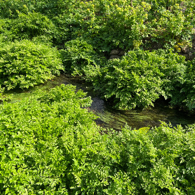
Image: © Ian Hawfinch Taken: 8 Apr 2023
At first glance, this looks like an aerial view of a river running through a rain forest. I think the plants here are mostly Hemlock Water Dropwort (Oenanthe crocata) - but I could be wrong.
Images are licensed for reuse under creativecommons.org/licenses/by-sa/2.0
Image Location
Latitude
50.869247
Longitude
-0.002387