Farm buildings of Milton Hill Farm on north side of A689
Introduction
The photograph on this page of Farm buildings of Milton Hill Farm on north side of A689 by Roger Templeman as part of the Geograph project.
The Geograph project started in 2005 with the aim of publishing, organising and preserving representative images for every square kilometre of Great Britain, Ireland and the Isle of Man.

There are currently over 7.5m images from over 14,400 individuals and you can help contribute to the project by visiting https://www.geograph.org.uk
Farm buildings of Milton Hill Farm on north side of A689
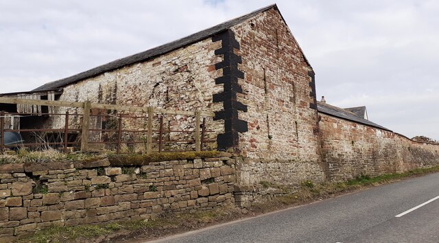
Image: © Roger Templeman Taken: 4 Apr 2023
There is an Ordnance Survey benchmark Image on the near corner, road face, of the large stone building
Images are licensed for reuse under creativecommons.org/licenses/by-sa/2.0
Image Location
Latitude
54.937664
Longitude
-2.704522