Barrat's Farm
Introduction
The photograph on this page of Barrat's Farm by Michael Westley as part of the Geograph project.
The Geograph project started in 2005 with the aim of publishing, organising and preserving representative images for every square kilometre of Great Britain, Ireland and the Isle of Man.

There are currently over 7.5m images from over 14,400 individuals and you can help contribute to the project by visiting https://www.geograph.org.uk
Barrat's Farm
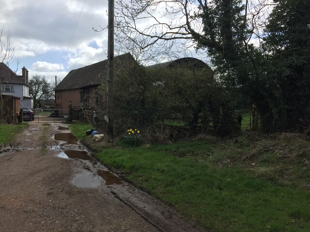
Image: © Michael Westley Taken: 2 Apr 2023
Muddy entrance to farm, with right of way, part of Heart of England Way, on the right (gated). The right of way traverses a very muddy farm yard immediately after this gate.
Images are licensed for reuse under creativecommons.org/licenses/by-sa/2.0
Image Location
Latitude
52.470965
Longitude
-1.619857