Broadbank Way
Introduction
The photograph on this page of Broadbank Way by John Baker as part of the Geograph project.
The Geograph project started in 2005 with the aim of publishing, organising and preserving representative images for every square kilometre of Great Britain, Ireland and the Isle of Man.

There are currently over 7.5m images from over 14,400 individuals and you can help contribute to the project by visiting https://www.geograph.org.uk
Broadbank Way
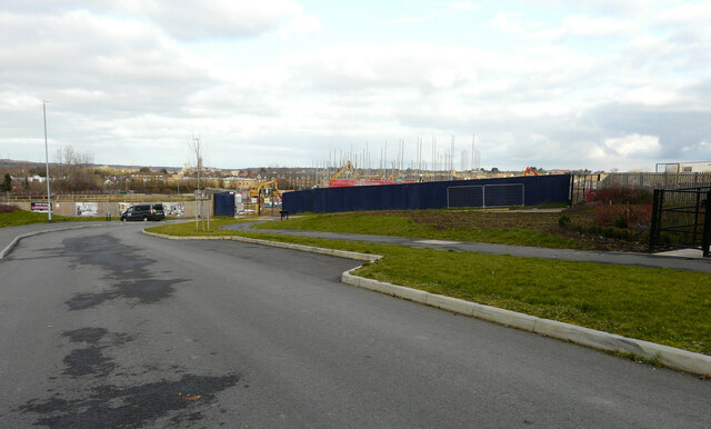
Image: © John Baker Taken: 1 Mar 2023
Part of a development named Saxon Fields for which planning permission has been granted by Canterbury City Council under application number CA//15/01479. The gap, in the hoarding, shows an expansion of the development. A similar view of this part of Image was taken in December 2022.
Images are licensed for reuse under creativecommons.org/licenses/by-sa/2.0
Image Location


Leaflet Map data © OpenStreetMap
Latitude
51.266989
Longitude
1.060213