Wollaton Road, Wollaton
Introduction
The photograph on this page of Wollaton Road, Wollaton by Stephen McKay as part of the Geograph project.
The Geograph project started in 2005 with the aim of publishing, organising and preserving representative images for every square kilometre of Great Britain, Ireland and the Isle of Man.

There are currently over 7.5m images from over 14,400 individuals and you can help contribute to the project by visiting https://www.geograph.org.uk
Wollaton Road, Wollaton
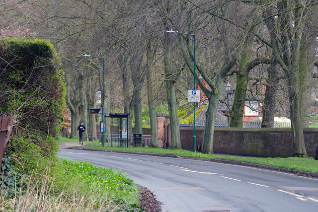
Image: © Stephen McKay Taken: 30 Mar 2023
After descending a short hill down from the village square, Wollaton Road bends to the left and runs alongside the Wollaton Park wall. One of the entrances to the park can be seen here.
Images are licensed for reuse under creativecommons.org/licenses/by-sa/2.0
Image Location
Latitude
52.952013
Longitude
-1.217655