Max Mill
Introduction
The photograph on this page of Max Mill by Adrian and Janet Quantock as part of the Geograph project.
The Geograph project started in 2005 with the aim of publishing, organising and preserving representative images for every square kilometre of Great Britain, Ireland and the Isle of Man.

There are currently over 7.5m images from over 14,400 individuals and you can help contribute to the project by visiting https://www.geograph.org.uk
Max Mill
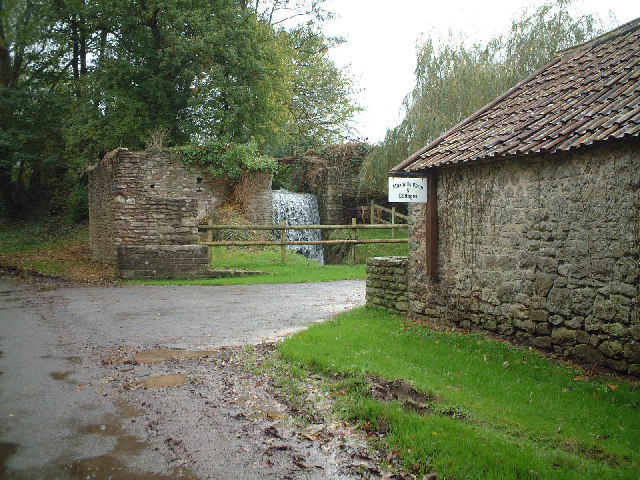
Image: © Adrian and Janet Quantock Taken: 5 Nov 2005
The water powered corn mill that once stood here was still powered by its overshot wheel in the 20th century. The mill was described by name in a document dated 1319.
Images are licensed for reuse under creativecommons.org/licenses/by-sa/2.0
Image Location
Latitude
51.314364
Longitude
-2.857964