Radnor Park Congregational Church
Introduction
The photograph on this page of Radnor Park Congregational Church by Stephen Sweeney as part of the Geograph project.
The Geograph project started in 2005 with the aim of publishing, organising and preserving representative images for every square kilometre of Great Britain, Ireland and the Isle of Man.

There are currently over 7.5m images from over 14,400 individuals and you can help contribute to the project by visiting https://www.geograph.org.uk
Radnor Park Congregational Church
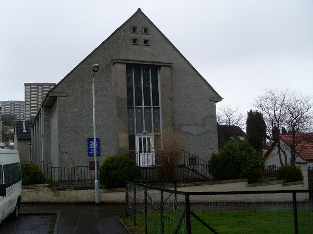
Image: © Stephen Sweeney Taken: 30 Mar 2008
This church was built in 1961 as a replacement for one of the same name which was damaged in the Clydebank Blitz of 1941.
Images are licensed for reuse under creativecommons.org/licenses/by-sa/2.0
Image Location
Latitude
55.910588
Longitude
-4.412516