House on Fordcombe Green
Introduction
The photograph on this page of House on Fordcombe Green by David M Clark as part of the Geograph project.
The Geograph project started in 2005 with the aim of publishing, organising and preserving representative images for every square kilometre of Great Britain, Ireland and the Isle of Man.

There are currently over 7.5m images from over 14,400 individuals and you can help contribute to the project by visiting https://www.geograph.org.uk
House on Fordcombe Green
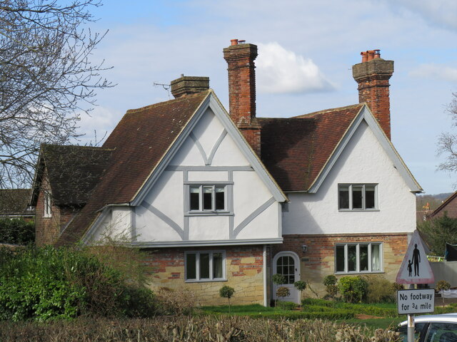
Image: © David M Clark Taken: 27 Mar 2023
Fordcombe developed in the 19th century, much later than its parent village of Speldhurst.
Images are licensed for reuse under creativecommons.org/licenses/by-sa/2.0
Image Location
Latitude
51.14127
Longitude
0.180316