Cycle route update
Introduction
The photograph on this page of Cycle route update by Kevin Waterhouse as part of the Geograph project.
The Geograph project started in 2005 with the aim of publishing, organising and preserving representative images for every square kilometre of Great Britain, Ireland and the Isle of Man.

There are currently over 7.5m images from over 14,400 individuals and you can help contribute to the project by visiting https://www.geograph.org.uk
Cycle route update
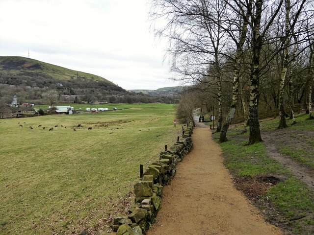
Image: © Kevin Waterhouse Taken: 19 Mar 2023
The route has followed that of a former railway but at this point there was a tunnel (no longer visible). There is a busy road junction here of the A635 and B6175 so it appears a safer crossing route for cyclists and others is being prepared.
Images are licensed for reuse under creativecommons.org/licenses/by-sa/2.0
Image Location


Leaflet Map data © OpenStreetMap
Latitude
53.529956
Longitude
-2.023797