North Petherton bridge
Introduction
The photograph on this page of North Petherton bridge by Neil Owen as part of the Geograph project.
The Geograph project started in 2005 with the aim of publishing, organising and preserving representative images for every square kilometre of Great Britain, Ireland and the Isle of Man.

There are currently over 7.5m images from over 14,400 individuals and you can help contribute to the project by visiting https://www.geograph.org.uk
North Petherton bridge
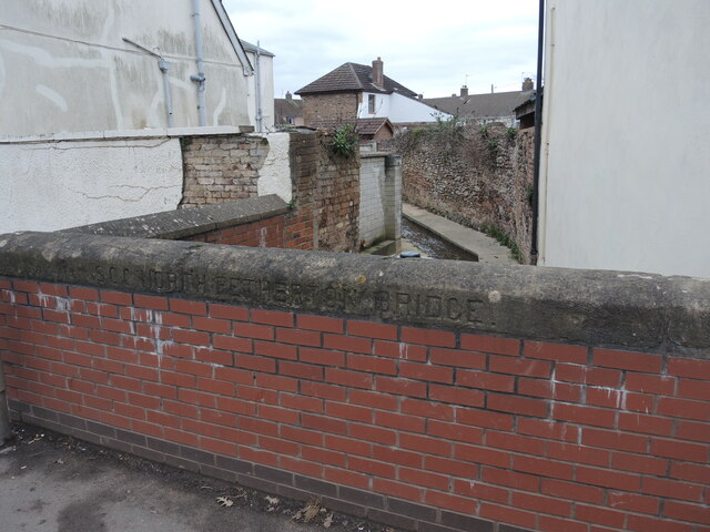
Image: © Neil Owen Taken: 23 Feb 2023
As with many Somerset County Council bridges, this one has an inscribed set of coping stones - probably early twentieth century. Interestingly, Fore Street was largely demolished and widened in the 1960s and this bridge has been rebuilt with brick. Notably, the original stones were retained.
Images are licensed for reuse under creativecommons.org/licenses/by-sa/2.0
Image Location
Latitude
51.092247
Longitude
-3.016347