Along Fore Street
Introduction
The photograph on this page of Along Fore Street by Neil Owen as part of the Geograph project.
The Geograph project started in 2005 with the aim of publishing, organising and preserving representative images for every square kilometre of Great Britain, Ireland and the Isle of Man.

There are currently over 7.5m images from over 14,400 individuals and you can help contribute to the project by visiting https://www.geograph.org.uk
Along Fore Street
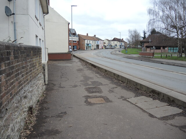
Image: © Neil Owen Taken: 23 Feb 2023
North Petherton's main road crosses the mill stream here, but there is little remnant of an imperial measurement past - see Image] for a look at a cast iron marker at the foot of the wall.
Images are licensed for reuse under creativecommons.org/licenses/by-sa/2.0
Image Location
Latitude
51.092065
Longitude
-3.016629