Haughhead and Clachan of Campsie from the air
Introduction
The photograph on this page of Haughhead and Clachan of Campsie from the air by Thomas Nugent as part of the Geograph project.
The Geograph project started in 2005 with the aim of publishing, organising and preserving representative images for every square kilometre of Great Britain, Ireland and the Isle of Man.

There are currently over 7.5m images from over 14,400 individuals and you can help contribute to the project by visiting https://www.geograph.org.uk
Haughhead and Clachan of Campsie from the air
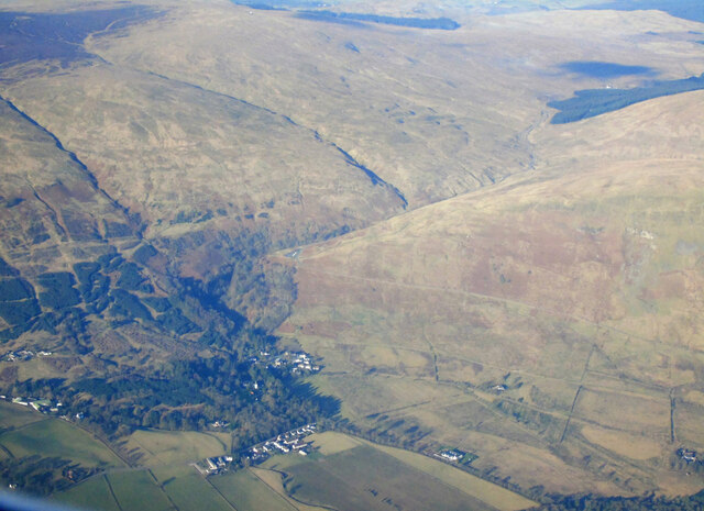
Image: © Thomas Nugent Taken: 26 Feb 2023
Haughhead in the foreground, with Clachan of Campsie just beyond. The B822 Crow Road climbs steeply up the side of the glen towards the car park in the sky.
Images are licensed for reuse under creativecommons.org/licenses/by-sa/2.0
Image Location


Leaflet Map data © OpenStreetMap
Latitude
55.983306
Longitude
-4.230918