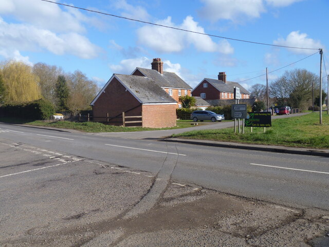
A walk around Bromham [11]
Introduction
The photograph on this page of A walk around Bromham [11] by Michael Dibb as part of the Geograph project.
The Geograph project started in 2005 with the aim of publishing, organising and preserving representative images for every square kilometre of Great Britain, Ireland and the Isle of Man.
There are currently over 7.5m images from over 14,400 individuals and you can help contribute to the project by visiting https://www.geograph.org.uk

Image: © Michael Dibb Taken: 26 Feb 2023
The route crosses the busy A342 road. Roughmoor Cottages are seen in the distance. From the car park in front of the Greyhound public house, the route leads through fields and along Highfield to cross the A342 road. The next path leads past Bromham House Farm to Turnpike Farm and on to Wick Farm. Then paths through fields to Chittoe Heath and along minor roads to Nonsuch Nurseries. Another path through fields leads to a surfaced path at the edge of Wyatt’s Wood, this leads to the High Street and back to the starting point. Almost exactly 4 miles.

