Jenners Lane
Introduction
The photograph on this page of Jenners Lane by Simon Carey as part of the Geograph project.
The Geograph project started in 2005 with the aim of publishing, organising and preserving representative images for every square kilometre of Great Britain, Ireland and the Isle of Man.

There are currently over 7.5m images from over 14,400 individuals and you can help contribute to the project by visiting https://www.geograph.org.uk
Jenners Lane
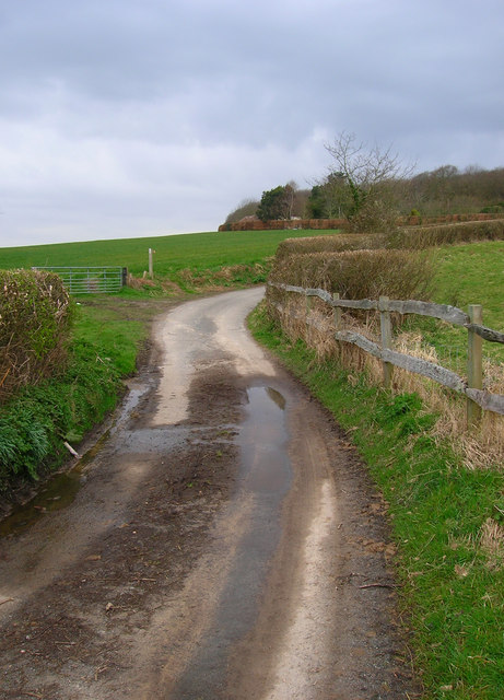
Image: © Simon Carey Taken: 29 Mar 2008
Taken from the point where the lane crosses Waterhouse Stream. The 1066 country walk also uses the lane before heading off road and following the southern boundary of Wartling Wood which is on the hill to the right.
Images are licensed for reuse under creativecommons.org/licenses/by-sa/2.0
Image Location


Leaflet Map data © OpenStreetMap
Latitude
50.869561
Longitude
0.361196