Jenners Lane
Introduction
The photograph on this page of Jenners Lane by Simon Carey as part of the Geograph project.
The Geograph project started in 2005 with the aim of publishing, organising and preserving representative images for every square kilometre of Great Britain, Ireland and the Isle of Man.

There are currently over 7.5m images from over 14,400 individuals and you can help contribute to the project by visiting https://www.geograph.org.uk
Jenners Lane
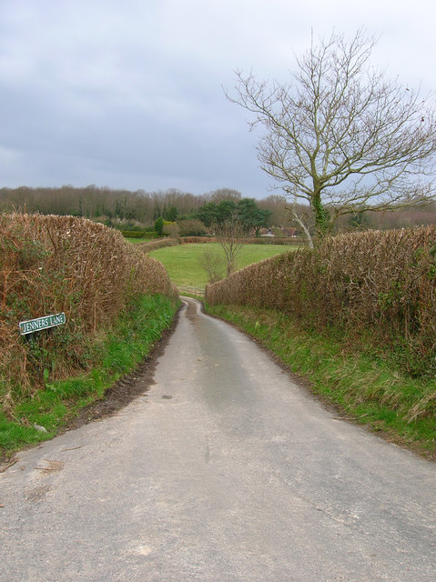
Image: © Simon Carey Taken: 29 Mar 2008
Narrow country lane linking Boreham Lane with Wood Lane, its course marked by the line of hedges. Wartling Wood is in the background.
Images are licensed for reuse under creativecommons.org/licenses/by-sa/2.0
Image Location


Leaflet Map data © OpenStreetMap
Latitude
50.869721
Longitude
0.362199