Teifi Estuary, St Dogmaels
Introduction
The photograph on this page of Teifi Estuary, St Dogmaels by Stephen McKay as part of the Geograph project.
The Geograph project started in 2005 with the aim of publishing, organising and preserving representative images for every square kilometre of Great Britain, Ireland and the Isle of Man.

There are currently over 7.5m images from over 14,400 individuals and you can help contribute to the project by visiting https://www.geograph.org.uk
Teifi Estuary, St Dogmaels
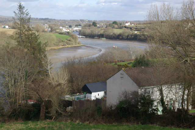
Image: © Stephen McKay Taken: 24 Mar 2008
Just north of St Dogmaels village, this splendid view of the Afon Teifi, looking back towards Cardigan, is available from the B4546.
Images are licensed for reuse under creativecommons.org/licenses/by-sa/2.0
Image Location
Latitude
52.08413
Longitude
-4.682473