Footpath to Waller's Haven
Introduction
The photograph on this page of Footpath to Waller's Haven by Simon Carey as part of the Geograph project.
The Geograph project started in 2005 with the aim of publishing, organising and preserving representative images for every square kilometre of Great Britain, Ireland and the Isle of Man.

There are currently over 7.5m images from over 14,400 individuals and you can help contribute to the project by visiting https://www.geograph.org.uk
Footpath to Waller's Haven
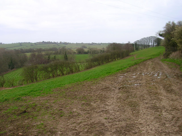
Image: © Simon Carey Taken: 29 Mar 2008
Following the crest of the hill before descending onto the levels.
Images are licensed for reuse under creativecommons.org/licenses/by-sa/2.0
Image Location
Latitude
50.856756
Longitude
0.358417