Downing Road, Dagenham
Introduction
The photograph on this page of Downing Road, Dagenham by David Howard as part of the Geograph project.
The Geograph project started in 2005 with the aim of publishing, organising and preserving representative images for every square kilometre of Great Britain, Ireland and the Isle of Man.

There are currently over 7.5m images from over 14,400 individuals and you can help contribute to the project by visiting https://www.geograph.org.uk
Downing Road, Dagenham
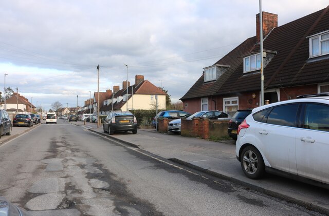
Image: © David Howard Taken: 19 Mar 2023
All the traffic heading east along Gorsebrook Road into Dagenham is now filtered up this little road instead. I don't think it's suitable in comparison with the old route.
Images are licensed for reuse under creativecommons.org/licenses/by-sa/2.0
Image Location
Latitude
51.53365
Longitude
0.145666