Dudley Road bridge
Introduction
The photograph on this page of Dudley Road bridge by Richard Law as part of the Geograph project.
The Geograph project started in 2005 with the aim of publishing, organising and preserving representative images for every square kilometre of Great Britain, Ireland and the Isle of Man.

There are currently over 7.5m images from over 14,400 individuals and you can help contribute to the project by visiting https://www.geograph.org.uk
Dudley Road bridge
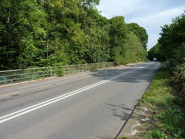
Image: © Richard Law Taken: 2 Sep 2022
The bridge carries the road over the former railway line which served the coal mines & workings at what is now Baggeridge Country Park between Sedgley and Wombourne.
Images are licensed for reuse under creativecommons.org/licenses/by-sa/2.0
Image Location
Latitude
52.52011
Longitude
-2.153963