Old Boundary Marker on Heanton Terrace, Redruth
Introduction
The photograph on this page of Old Boundary Marker on Heanton Terrace, Redruth by P Barnett as part of the Geograph project.
The Geograph project started in 2005 with the aim of publishing, organising and preserving representative images for every square kilometre of Great Britain, Ireland and the Isle of Man.

There are currently over 7.5m images from over 14,400 individuals and you can help contribute to the project by visiting https://www.geograph.org.uk
Old Boundary Marker on Heanton Terrace, Redruth
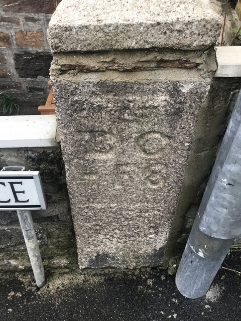
Image: © P Barnett Taken: 20 Mar 2023
Mine Boundary Marker on the north side of Heanton Terrace, set in the front garden wall of No 26. Redruth parish. Inscribed B C / - F 8. The stone records the Fairmeadow mining sett boundary. Milestone Society National ID: CW_REDRU14em
Images are licensed for reuse under creativecommons.org/licenses/by-sa/2.0
Image Location
Latitude
50.232328
Longitude
-5.224506