Up Hounds Gate
Introduction
The photograph on this page of Up Hounds Gate by John Sutton as part of the Geograph project.
The Geograph project started in 2005 with the aim of publishing, organising and preserving representative images for every square kilometre of Great Britain, Ireland and the Isle of Man.

There are currently over 7.5m images from over 14,400 individuals and you can help contribute to the project by visiting https://www.geograph.org.uk
Up Hounds Gate
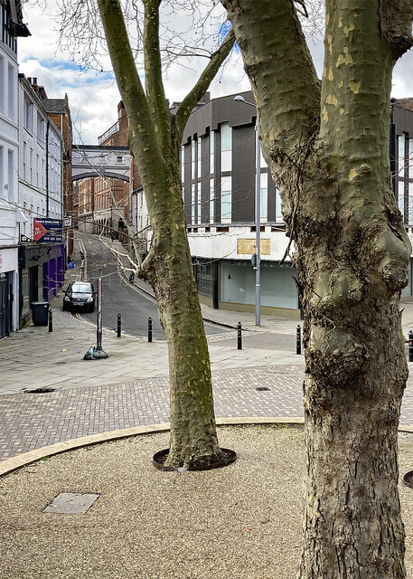
Image: © John Sutton Taken: 21 Mar 2023
A view from the steps outside St Peter's Church. For a view towards the church from Hounds Gate, try Image] and for more about the bridge built to connect lace warehouses see Stephen Richards' Image
Images are licensed for reuse under creativecommons.org/licenses/by-sa/2.0
Image Location
Latitude
52.951996
Longitude
-1.149783