The B482, Cadmore End
Introduction
The photograph on this page of The B482, Cadmore End by Andrew Smith as part of the Geograph project.
The Geograph project started in 2005 with the aim of publishing, organising and preserving representative images for every square kilometre of Great Britain, Ireland and the Isle of Man.

There are currently over 7.5m images from over 14,400 individuals and you can help contribute to the project by visiting https://www.geograph.org.uk
The B482, Cadmore End
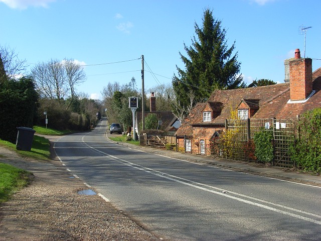
Image: © Andrew Smith Taken: 27 Mar 2008
The western end of the village, most of which is slightly off the main road. The second, mostly hidden building is the Old Ship pub.
Images are licensed for reuse under creativecommons.org/licenses/by-sa/2.0
Image Location


Leaflet Map data © OpenStreetMap
Latitude
51.62675
Longitude
-0.867348