Path beside Osbaldwick Beck
Introduction
The photograph on this page of Path beside Osbaldwick Beck by DS Pugh as part of the Geograph project.
The Geograph project started in 2005 with the aim of publishing, organising and preserving representative images for every square kilometre of Great Britain, Ireland and the Isle of Man.

There are currently over 7.5m images from over 14,400 individuals and you can help contribute to the project by visiting https://www.geograph.org.uk
Path beside Osbaldwick Beck
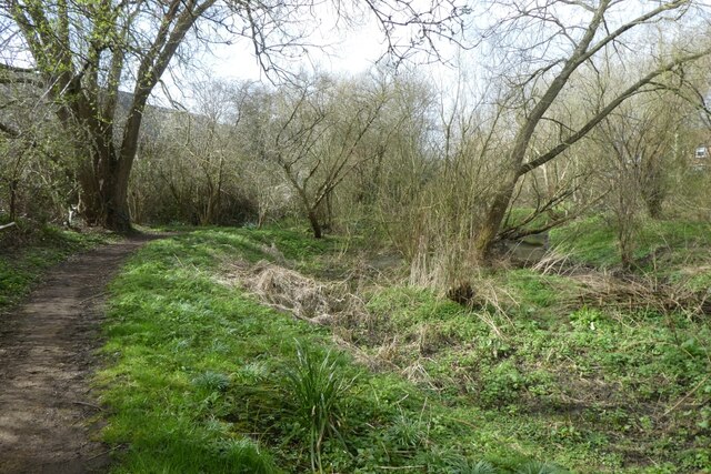
Image: © DS Pugh Taken: 19 Mar 2023
The path follows Osbaldwick Beck as it runs from Melrosegate to St. Nicholas Fields.
Images are licensed for reuse under creativecommons.org/licenses/by-sa/2.0
Image Location
Latitude
53.956453
Longitude
-1.060297