Durrington, Bulford Road
Introduction
The photograph on this page of Durrington, Bulford Road by Cynthia Poole as part of the Geograph project.
The Geograph project started in 2005 with the aim of publishing, organising and preserving representative images for every square kilometre of Great Britain, Ireland and the Isle of Man.

There are currently over 7.5m images from over 14,400 individuals and you can help contribute to the project by visiting https://www.geograph.org.uk
Durrington, Bulford Road
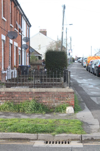
Image: © Cynthia Poole Taken: 18 Mar 2023
View looking north along Bulford Road from the corner of Poores Road. On the wall in the foreground is an Ordnance Survey benchmark.
Images are licensed for reuse under creativecommons.org/licenses/by-sa/2.0
Image Location
Latitude
51.199494
Longitude
-1.772385