Durrington, Poores Road Benchmark
Introduction
The photograph on this page of Durrington, Poores Road Benchmark by Cynthia Poole as part of the Geograph project.
The Geograph project started in 2005 with the aim of publishing, organising and preserving representative images for every square kilometre of Great Britain, Ireland and the Isle of Man.

There are currently over 7.5m images from over 14,400 individuals and you can help contribute to the project by visiting https://www.geograph.org.uk
Durrington, Poores Road Benchmark
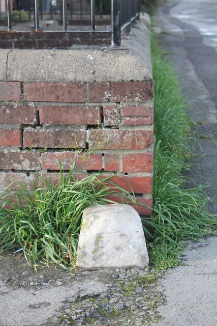
Image: © Cynthia Poole Taken: 18 Mar 2023
Ordnance Survey benchmark cut into the brick wall at the corner of Poores Road and Bulford Road, Durrington. The stone below the benchmark embedded in the tarmac of the pavement may be the top of an old milestone or boundary stone.
Images are licensed for reuse under creativecommons.org/licenses/by-sa/2.0
Image Location
Latitude
51.199314
Longitude
-1.772243