The Old Vicarage
Introduction
The photograph on this page of The Old Vicarage by Robert Wade as part of the Geograph project.
The Geograph project started in 2005 with the aim of publishing, organising and preserving representative images for every square kilometre of Great Britain, Ireland and the Isle of Man.

There are currently over 7.5m images from over 14,400 individuals and you can help contribute to the project by visiting https://www.geograph.org.uk
The Old Vicarage
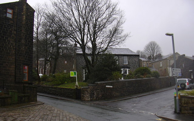
Image: © Robert Wade Taken: 29 Mar 2008
Junction of Dale Street and Bankside, was the vicarage for St Johns but now in private hands
Images are licensed for reuse under creativecommons.org/licenses/by-sa/2.0
Image Location
Latitude
53.702361
Longitude
-2.202331