Along Cattle Lane
Introduction
The photograph on this page of Along Cattle Lane by DS Pugh as part of the Geograph project.
The Geograph project started in 2005 with the aim of publishing, organising and preserving representative images for every square kilometre of Great Britain, Ireland and the Isle of Man.

There are currently over 7.5m images from over 14,400 individuals and you can help contribute to the project by visiting https://www.geograph.org.uk
Along Cattle Lane
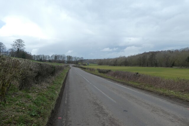
Image: © DS Pugh Taken: 18 Mar 2023
Looking towards the national speed limit signs on the road between Aberford and Barwick in Elmet.
Images are licensed for reuse under creativecommons.org/licenses/by-sa/2.0
Image Location
Latitude
53.8311
Longitude
-1.350122