Normans Pond
Introduction
The photograph on this page of Normans Pond by Simon Carey as part of the Geograph project.
The Geograph project started in 2005 with the aim of publishing, organising and preserving representative images for every square kilometre of Great Britain, Ireland and the Isle of Man.

There are currently over 7.5m images from over 14,400 individuals and you can help contribute to the project by visiting https://www.geograph.org.uk
Normans Pond
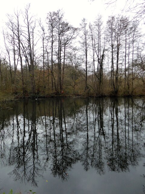
Image: © Simon Carey Taken: 16 Mar 2023
Located between Queens Drive and the Maresfield By-Pass, whose construction in the 1980s truncated its size - a small portion remains on the eastern side of the A22. The pond itself is of some antiquity being marked on Maresfield's 1840 tithe map belonging to the grounds of Maresfield Park. The pond and a section of wood to the north is now open access.
Images are licensed for reuse under creativecommons.org/licenses/by-sa/2.0
Image Location
Latitude
50.996014
Longitude
0.077302