Batts Bridge Road, Maresfield
Introduction
The photograph on this page of Batts Bridge Road, Maresfield by Simon Carey as part of the Geograph project.
The Geograph project started in 2005 with the aim of publishing, organising and preserving representative images for every square kilometre of Great Britain, Ireland and the Isle of Man.

There are currently over 7.5m images from over 14,400 individuals and you can help contribute to the project by visiting https://www.geograph.org.uk
Batts Bridge Road, Maresfield
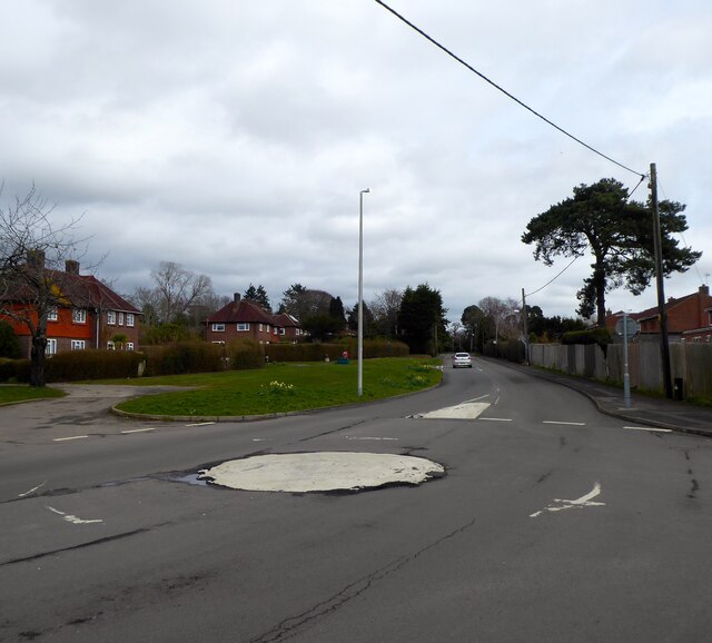
Image: © Simon Carey Taken: 16 Mar 2023
The current road connects the centre of the village to Maresfield Roundabout on the A22. Prior to the latter being built in the 1980s this was the A272. The houses on the right front onto The Paddock and were built in the 1990s on the site of the former Maresfield Army Camp. Those on the left were constructed between the wars on the site of another army camp that existed during the First World War.
Images are licensed for reuse under creativecommons.org/licenses/by-sa/2.0
Image Location
Latitude
50.996097
Longitude
0.082721