Merrow Street
Introduction
The photograph on this page of Merrow Street by Des Blenkinsopp as part of the Geograph project.
The Geograph project started in 2005 with the aim of publishing, organising and preserving representative images for every square kilometre of Great Britain, Ireland and the Isle of Man.

There are currently over 7.5m images from over 14,400 individuals and you can help contribute to the project by visiting https://www.geograph.org.uk
Merrow Street
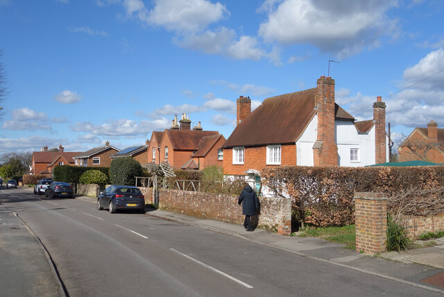
Image: © Des Blenkinsopp Taken: 14 Mar 2023
Now a part of suburban Guildford, up until the 20th century Merrow was a separate village. Many of the original older buildings can still be seen alongside the new ones. https://en.wikipedia.org/wiki/Merrow,_Surrey
Images are licensed for reuse under creativecommons.org/licenses/by-sa/2.0
Image Location
Latitude
51.247847
Longitude
-0.529225