The River Devon
Introduction
The photograph on this page of The River Devon by Eirian Evans as part of the Geograph project.
The Geograph project started in 2005 with the aim of publishing, organising and preserving representative images for every square kilometre of Great Britain, Ireland and the Isle of Man.

There are currently over 7.5m images from over 14,400 individuals and you can help contribute to the project by visiting https://www.geograph.org.uk
The River Devon
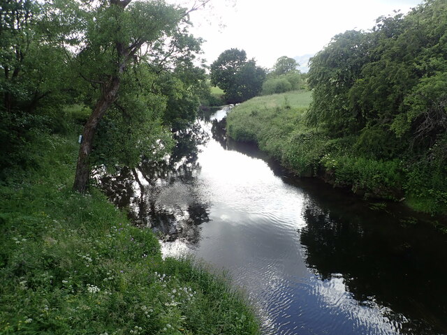
Image: © Eirian Evans Taken: 27 Jun 2022
The River Devon, runs through Kinross-shire and Clackmannanshire from Glendevon up in the Ochil Hills through a series of lochs formed by water supply dams. The river then flows down to the Crook of Devon and turns suddenly westward to follow the foot of the magnificent Ochils some 15 miles through farmland, gorge and the small towns of Dollar Tillicoultry, Alva, Menstrie and then out into the Forth River and estuary at Cambus near Alloa.
Images are licensed for reuse under creativecommons.org/licenses/by-sa/2.0
Image Location
Latitude
56.143639
Longitude
-3.782726