Old streets in Tantobie
Introduction
The photograph on this page of Old streets in Tantobie by Robert Graham as part of the Geograph project.
The Geograph project started in 2005 with the aim of publishing, organising and preserving representative images for every square kilometre of Great Britain, Ireland and the Isle of Man.

There are currently over 7.5m images from over 14,400 individuals and you can help contribute to the project by visiting https://www.geograph.org.uk
Old streets in Tantobie
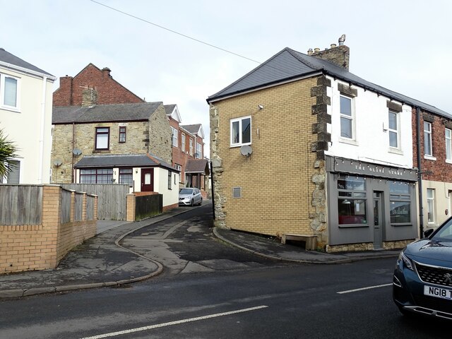
Image: © Robert Graham Taken: 6 Mar 2023
Tantobie is a mainly late 19th century former mining village in Co Durham. This is the junction of Chapel Street with Front Street in the centre of the village. The steep bank is typical, as the village is built on a hillside.
Images are licensed for reuse under creativecommons.org/licenses/by-sa/2.0
Image Location
Latitude
54.885665
Longitude
-1.728115