Leeds, Chapel Allerton, Stainbeck Corner
Introduction
The photograph on this page of Leeds, Chapel Allerton, Stainbeck Corner by Mel Towler as part of the Geograph project.
The Geograph project started in 2005 with the aim of publishing, organising and preserving representative images for every square kilometre of Great Britain, Ireland and the Isle of Man.

There are currently over 7.5m images from over 14,400 individuals and you can help contribute to the project by visiting https://www.geograph.org.uk
Leeds, Chapel Allerton, Stainbeck Corner
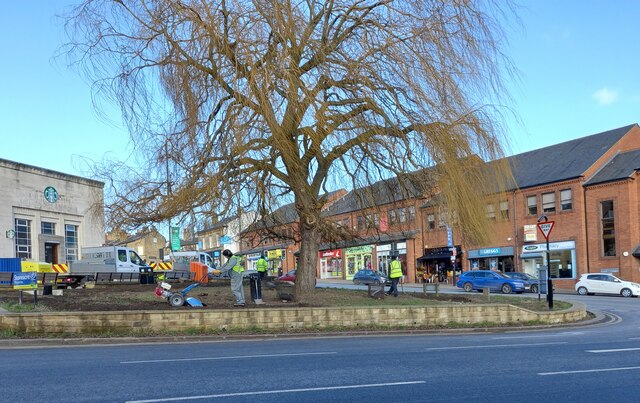
Image: © Mel Towler Taken: 31 Jan 2023
According to the 1908 OS map there was a benchmark at this road junction, also known as Stainbeck Corner. The junction has been reshaped and upgraded over the years, and the benchmark has been destroyed.
Images are licensed for reuse under creativecommons.org/licenses/by-sa/2.0
Image Location


Leaflet Map data © OpenStreetMap
Latitude
53.828978
Longitude
-1.538186