Way for the Millennium
Introduction
The photograph on this page of Way for the Millennium by Peter Fleming as part of the Geograph project.
The Geograph project started in 2005 with the aim of publishing, organising and preserving representative images for every square kilometre of Great Britain, Ireland and the Isle of Man.

There are currently over 7.5m images from over 14,400 individuals and you can help contribute to the project by visiting https://www.geograph.org.uk
Way for the Millennium
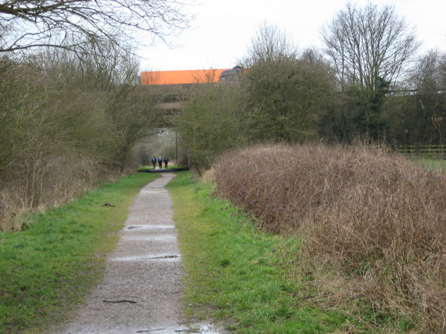
Image: © Peter Fleming Taken: 16 Mar 2008
The WFTM route goes west under the M6. This part of the route, Stafford to Gnosall, is easy walking/riding along the route of an old railway. Nearer to Newport the route is not so well maintained.
Images are licensed for reuse under creativecommons.org/licenses/by-sa/2.0
Image Location
Latitude
52.806252
Longitude
-2.153639