Newton's Road looking Southwest
Introduction
The photograph on this page of Newton's Road looking Southwest by s as part of the Geograph project.
The Geograph project started in 2005 with the aim of publishing, organising and preserving representative images for every square kilometre of Great Britain, Ireland and the Isle of Man.

There are currently over 7.5m images from over 14,400 individuals and you can help contribute to the project by visiting https://www.geograph.org.uk
Newton's Road looking Southwest
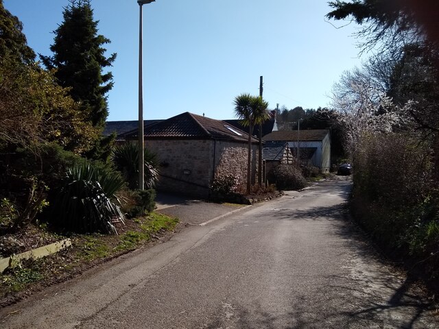
Image: © s Taken: 14 Mar 2023
Newton's Road looking Southwest towards the junction with Queen's Way. The cream coloured building in the background is the Old Manor Inn, formerly the farmhouse of Manor Farm which closed in 1980.
Images are licensed for reuse under creativecommons.org/licenses/by-sa/2.0
Image Location
Latitude
51.369017
Longitude
-2.932048