Newton's Road looking Northeast
Introduction
The photograph on this page of Newton's Road looking Northeast by s as part of the Geograph project.
The Geograph project started in 2005 with the aim of publishing, organising and preserving representative images for every square kilometre of Great Britain, Ireland and the Isle of Man.

There are currently over 7.5m images from over 14,400 individuals and you can help contribute to the project by visiting https://www.geograph.org.uk
Newton's Road looking Northeast
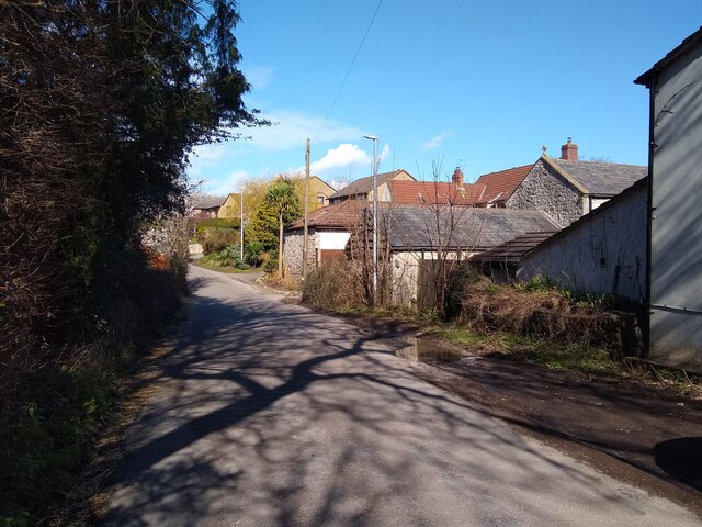
Image: © s Taken: 14 Mar 2023
Newton's Road looking Northeast towards Lyefield Road. The cream coloured building on the right is the Old Manor Inn, formerly the farmhouse of Manor Farm. Manor Farm closed in 1980 when the pub was opened. The stone buildings on the right are former farm buildings. The remainder of this section of Newton's Road was built in the 1980s.
Images are licensed for reuse under creativecommons.org/licenses/by-sa/2.0
Image Location
Latitude
51.368638
Longitude
-2.932242