Former farm buildings
Introduction
The photograph on this page of Former farm buildings by s as part of the Geograph project.
The Geograph project started in 2005 with the aim of publishing, organising and preserving representative images for every square kilometre of Great Britain, Ireland and the Isle of Man.

There are currently over 7.5m images from over 14,400 individuals and you can help contribute to the project by visiting https://www.geograph.org.uk
Former farm buildings
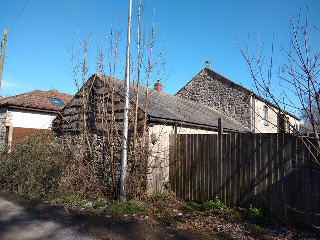
Image: © s Taken: 14 Mar 2023
Former farm buildings of Manor Farm, which closed in 1980 when Manor Farm house was converted into the Old Manor Inn. The buildings are now service buildings for the pub. The buildings appear on the 1840s tithe map of the area.
Images are licensed for reuse under creativecommons.org/licenses/by-sa/2.0
Image Location
Latitude
51.368749
Longitude
-2.931899