Road to Bradworthy
Introduction
The photograph on this page of Road to Bradworthy by Derek Harper as part of the Geograph project.
The Geograph project started in 2005 with the aim of publishing, organising and preserving representative images for every square kilometre of Great Britain, Ireland and the Isle of Man.

There are currently over 7.5m images from over 14,400 individuals and you can help contribute to the project by visiting https://www.geograph.org.uk
Road to Bradworthy
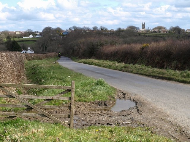
Image: © Derek Harper Taken: 27 Mar 2008
A rider heads into the distance towards the Waldon valley down this broad lane with wide verges at this point. Bradworthy, straddling squares Image and Image, is on the hill. I asked the rider as she passed if she minded me including her in my photo; she replied, quite taken aback, "Eee, yer can if yer like!" in a strong northern accent, a little unexpected in this obscure corner of Devon.
Images are licensed for reuse under creativecommons.org/licenses/by-sa/2.0
Image Location


Leaflet Map data © OpenStreetMap
Latitude
50.899753
Longitude
-4.397324