Houses on Lower Barresdale
Introduction
The photograph on this page of Houses on Lower Barresdale by Trevor Littlewood as part of the Geograph project.
The Geograph project started in 2005 with the aim of publishing, organising and preserving representative images for every square kilometre of Great Britain, Ireland and the Isle of Man.

There are currently over 7.5m images from over 14,400 individuals and you can help contribute to the project by visiting https://www.geograph.org.uk
Houses on Lower Barresdale
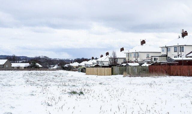
Image: © Trevor Littlewood Taken: 9 Mar 2023
The rear of what once will have been council houses on the outskirts of Alnwick. A public footpath follows the fence line.
Images are licensed for reuse under creativecommons.org/licenses/by-sa/2.0
Image Location
Latitude
55.413299
Longitude
-1.718505