Benchmark on King's Stanley church
Introduction
The photograph on this page of Benchmark on King's Stanley church by Neil Owen as part of the Geograph project.
The Geograph project started in 2005 with the aim of publishing, organising and preserving representative images for every square kilometre of Great Britain, Ireland and the Isle of Man.

There are currently over 7.5m images from over 14,400 individuals and you can help contribute to the project by visiting https://www.geograph.org.uk
Benchmark on King's Stanley church
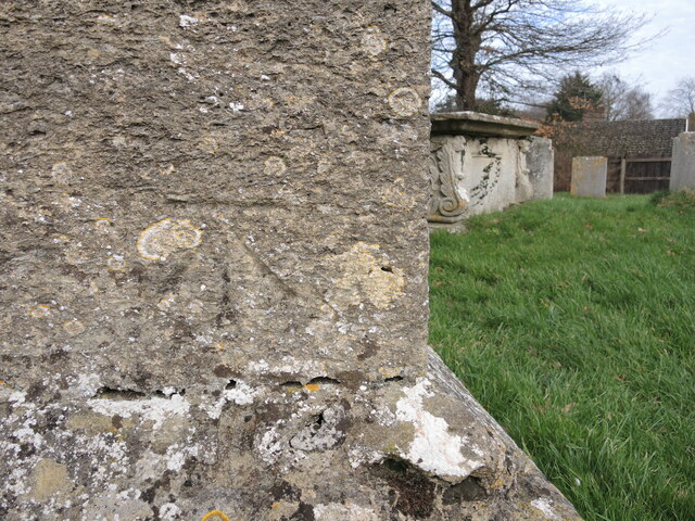
Image: © Neil Owen Taken: 7 Feb 2023
A cutmark, as listed in the Benchmark Database: https://www.bench-marks.org.uk/bm102171 , on the east end of St George's. It dates from the original work of the Ordnanace Survey in the nineteenth century.
Images are licensed for reuse under creativecommons.org/licenses/by-sa/2.0
Image Location
Latitude
51.735194
Longitude
-2.276392